To upload data onto the database you will need to download templates (shapefile or Excel) to enter data into. This ensures data validation (i.e. matching the field requirements of the online database).
- Click on Download Templates from the My GIS menu:

This function allows you to download spreadsheet(s) or shapefile(s) with the required fields to be populated by your existing data. - Select your Activity:

- A preview of the fields for your chosen activity will appear:

- The supported geometry types (point, line and/ or polygon) for your chosen activity will also appear:

- Click on the type of template you would like to download, in this case:
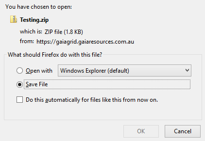
- Choose Save.

Note – if selecting a shapefile you will receive a zip file with one or more shapefiles depending on the accepted geometry types. Always unzip the folder before loading the shapefile(s) into your spatial software. - Locate the zip file you just saved. Right click on the zip file and Extract All.

- Set the location of extraction to your project folder, then click Extract.
- The extracted folder will contain the template shapefile(s) (or template spreadsheet) and a Legend.xls spreadsheet.
